

Product Description
This chart series provides flight crews with information to facilitate navigation along high level airways and routes in compliance with Air Traffic Control procedures. They are intended for use in high level airspace (18,000 feet ASL and above).
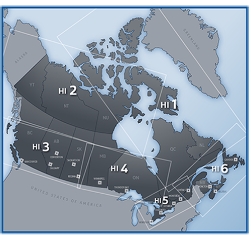
This series comprises six HI charts depicting aeronautical radio information, high level airways structure, controlled/uncontrolled airspace structure, special use airspace structure, special use airports, communication facilities and selected aerodromes.
It is used for IFR route planning and inflight navigation.
Limitations
This IFR chart series is not suitable for VFR navigation as it provides no obstacle, terrain, road or other data needed for visual flight.
Vertical coverage includes 18,000 feet ASL and above.
The information contained on these charts is current only to the effective date. Since enroute information may be amended or cancelled, NOTAMs and AIP Supplements must be consulted to ensure that only current information is used for flight operations.


")
